


11,1 km | 27 km-effort


Benutzer


Kostenlosegpshiking-Anwendung
 SityTrail
IGN / Geografische Institute
SityTrail World
Die Welt öffnet sich für Sie
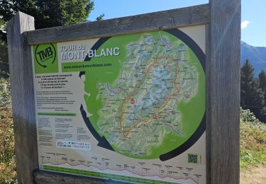
Tour Wandern von 77 km verfügbar auf Auvergne-Rhone-Alpen, Hochsavoyen, Les Contamines-Montjoie. Diese Tour wird von Elbe vorgeschlagen.
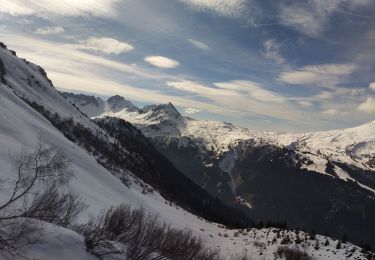
Tour du Mont Blanc avec L'HSL'P (Accompagnateur Montagne : Yves Jacquemoud)
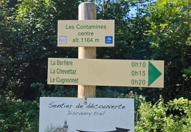
Départ des Contamines-Montjoie.
Étapes :
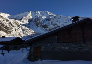
1) Chalet du Berger (Lac de la Girotte),
2) Gîte de la Gittaz,
3) Gîte de Plan Mya,
Transport en voiture de Plan Mya jusqu'a "La Ville des Glaciers"
4)
Skiwanderen
Skiwanderen
Skiwanderen
Skiwanderen
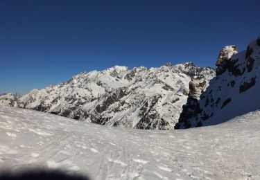
Skiwanderen

Wandern
Wandern
Wandern
Wandern